Picture credits
The drawings are our own. The photos are from Wikimedia Commons, under Creative Commons licences (Attribution, or Attribution-ShareAlike), CC0, or in the public domain.
Photos
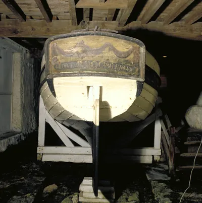 Peggy of Castletown.jpg
by Rowangus, CC BY-SA 3.0. Cropped and resized; no other changes. Shared here under the same licence.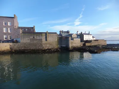 Nautical Museum Castletown - geograph.org.uk - 3850157.jpg
by Richard Hoare, CC BY-SA 2.0. Cropped and resized; no other changes. Shared here under the same licence.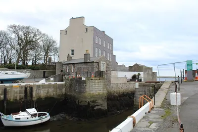 Bridge House and the Cain Bridge - geograph.org.uk - 5593407.jpg
by Richard Hoare, CC BY-SA 2.0. Cropped and resized; no other changes. Shared here under the same licence.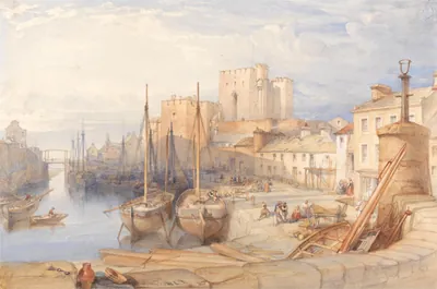 William Leighton Leitch - Castletown Harbour, Isle of Man - B1975.4.1700 - Yale Center for British Art.jpg
by William Leighton Leitch, CC0. Cropped and resized; no other changes.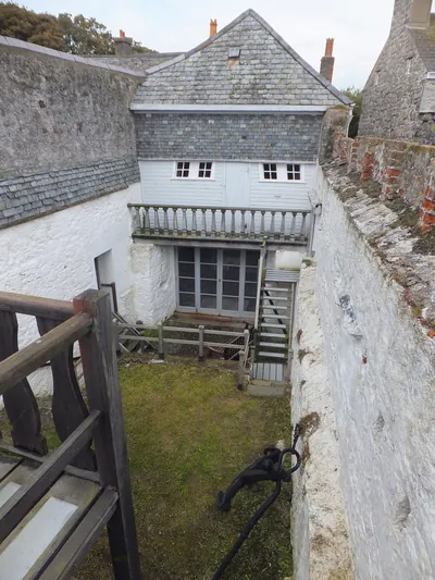 Rear of Nautical Museum building Castletown - geograph.org.uk - 3100995.jpg
by Richard Hoare, CC BY-SA 2.0. Cropped and resized; no other changes. Shared here under the same licence.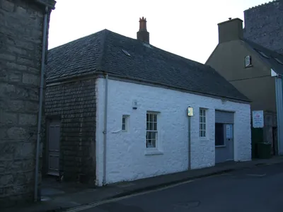 The Nautical Museum at Castletown - geograph.org.uk - 1700641.jpg
by Richard Hoare, CC BY-SA 2.0. Cropped and resized; no other changes. Shared here under the same licence.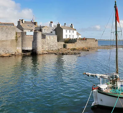 Nautical Museum, Castletown - geograph.org.uk - 1453741.jpg
by Andy Stephenson, CC BY-SA 2.0. Cropped and resized; no other changes. Shared here under the same licence.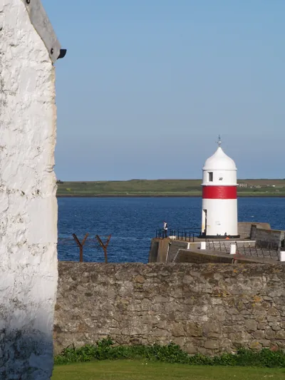 Castletown harbour, Isle of Man - geograph.org.uk - 6222038.jpg
by Patrick Hamilton, CC BY-SA 2.0. Cropped and resized; no other changes. Shared here under the same licence.
Our own drawings
- A side view of the Peggy under sail as first built: a small brown clinker-built hull with two masts, a gaff mainsail at the back, a gaff foresail in the middle and a triangular jib running out to a long bowsprit at the front. Three sliding keels hang down below the hull. A row of small oar holes and little cannon runs along the side. A dimension line reads 26 feet 5 inches overall, beam 7 feet 8 inches.
Our own drawing - Two hulls side by side. Left, 1789 as built: a low, light boat with six open oar holes and three sliding keels. Right, 1802 altered: a higher-sided boat with an extra plank and gunwale, the oar holes plugged, no sliding keels and a taller transom.
Our own drawing - A sketch map of the Irish Sea. On the left, the Isle of Man with Castletown and the Calf of Man marked. A dashed red line crosses the sea to a point below Ulverston on the English coast, labelled 1, across the Irish Sea. A dotted gold line runs overland to Newby Bridge at the foot of Windermere, labelled 2, overland. A dotted blue line returns to Castletown, labelled 3, home in a gale with the keels down. A note says the map is not to scale.
Our own drawing - A vertical timeline: 1757 George Quayle born; 1789 Peggy built in Castletown; 1791 letter about Shank’s sliding keels; 1793 Admiralty licence; 1796 Windermere regatta; 1802 rebuilt as a heavier boat; about 1810 to 1835 laid up, sources differ; 1851 walled in; 1935 found in her cellar; 1951 Nautical Museum opens; 2013 new steel cradle; 2014 dock excavated; 2015 moved for conservation; 2025 return plans on hold.
Our own drawing - Two semicircular gauges. The left reads 55%, air relative humidity held in the conservation facility. The right reads 14%, the moisture content aimed for in her timber.
Our own drawing
The drawings are simplified teaching drawings, not to scale, made from the sourced descriptions on this site. Useless the eraser is the network’s own mascot. Fonts: Bricolage Grotesque, Newsreader and Kalam (SIL Open Font Licence), served from this site.